X
This article was co-authored by wikiHow staff writer, Nicole Levine, MFA. Nicole Levine is a Technology Writer and Editor for wikiHow. She has more than 20 years of experience creating technical documentation and leading support teams at major web hosting and software companies. Nicole also holds an MFA in Creative Writing from Portland State University and teaches composition, fiction-writing, and zine-making at various institutions.
This article has been viewed 16,240 times.
Learn more...
This wikiHow teaches you how to see the Street View image of a location using Google Maps on a computer.
Steps
Method 1
Method 1 of 2:
Searching for a Location
-
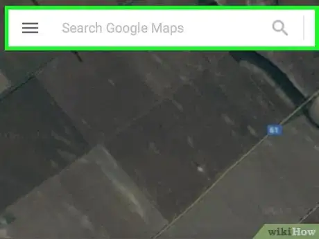
1Open Google Maps on your computer. Open any web browser, such as Safari or Firefox, and navigate to https://maps.google.com.
-
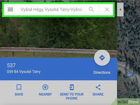
2Search for an address or landmark. There are two ways to do this:
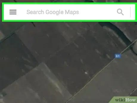
- Type an address or landmark name into the search bar at the top of the screen, then select the correct result from the list.
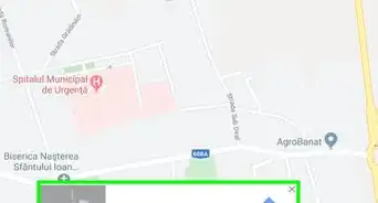
- Drag the map to the location, then double-click a spot nearby to zoom in. When you find the place, click it to bring up the address at the bottom of the screen, and then click that address.
Advertisement -
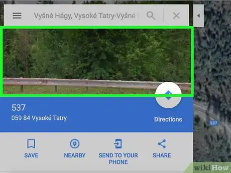
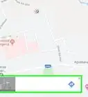
3Click the preview image. It’s at the top-left corner of Maps. This opens the Street View image larger in the main (right) panel.
-
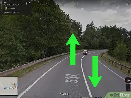
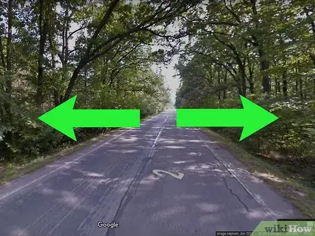
4Drag the mouse to reposition the angle. You can move around the image almost as if you were there. If you’re looking toward the street, you can even click the arrows to get the effect of driving down the road.
-
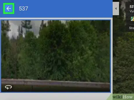
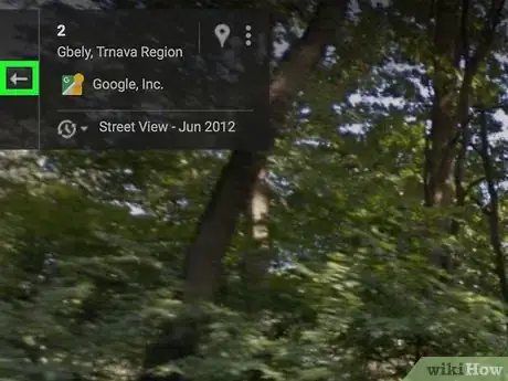
5Click ← when you’re done. This closes Street View and returns you to the map.
Advertisement
Method 2
Method 2 of 2:
Browsing the Map with Pegman
-
1Open Google Maps on your computer. Open any web browser, such as Safari or Firefox, and navigate to https://maps.google.com.
-
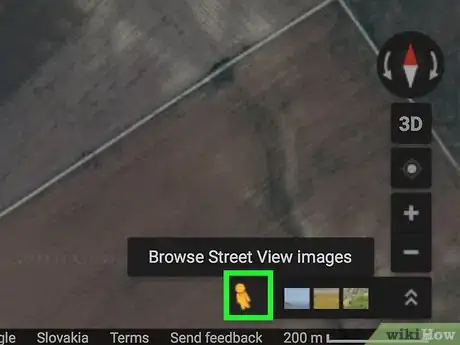
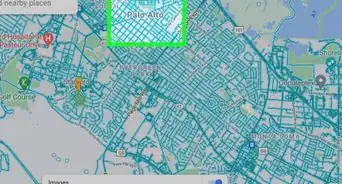
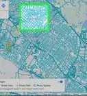
2Click Pegman. It’s the yellow person icon at the bottom-right corner of the map. Now all streets that are available with Street View are filled in blue.
-
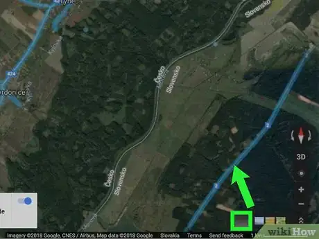
3Drag-and-drop Pegman to a place you want to see. You’ll need to drop Pegman on a blue line, blue dot, or orange dot.[1] This opens that location in Street View.
-
4Drag the mouse to reposition the angle. You can move around the image almost as if you were there. If you’re looking toward the street, you can even click the arrows to get the effect of driving down the road.
-
5Click ← when you’re done. This closes Street View and returns you to the map.
Advertisement
About This Article
Advertisement
