This article was co-authored by wikiHow Staff. Our trained team of editors and researchers validate articles for accuracy and comprehensiveness. wikiHow's Content Management Team carefully monitors the work from our editorial staff to ensure that each article is backed by trusted research and meets our high quality standards.
This article has been viewed 214,126 times.
Learn more...
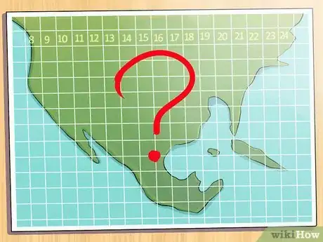
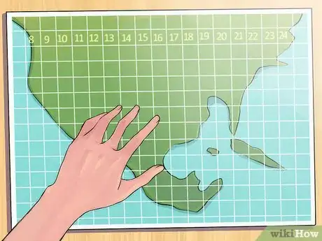
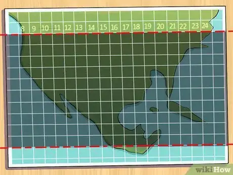
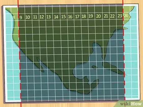
If you're planning a hiking trip or any sort of expedition, chances are you'll need to learn how use UTM coordinates. The Universal Transverse Mercator system is a system of coordinates that describes position on a map, and is often used by both GPS devices and physical maps, including tourism guidebooks. We'll show you how to determine and read UTM coordinates, so you can know where you are, wherever you are.
Steps
Community Q&A
-
QuestionHow do I determine the distance from one set of numbers to another set of numbers?
 Community AnswerTo find the distance between two points on the earth, convert the UTM coordinates to Latitude and Longitude. Then, you can use spherical trigonometric functions to find the distance and direction. (The formulae are available on internet.)
 -
QuestionHow do I plot UTM coordinates on google earth?
 Brett GilbertTop AnswererOpen Google Earth, then type them into the search box. It should take you to the coordinates you typed. You can also click the view button to activate the grid lines.
